Hydrographic Survey and Mapping
Through our partners, BUVI Scandinavia can carry out hydrographic surveys, mapping and visualization of seabed conditions etc.
Building relationships and partnerships with our customers is important to us.
When you ask, we make suggestions for solutions.
When you have a specific need or requirement, we provide solutions.
Examples of Hydrographic Surveys
Seabed mapping in waterways, lakes and harbours
Find cables, pipes and wreckage
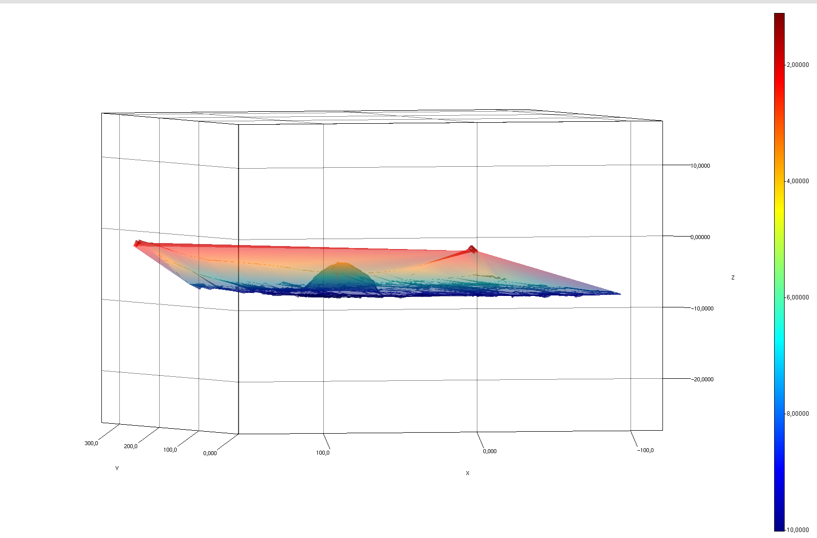
3d modeling of the bottom
Volume calculations
Inspection of marine structures
Search and location in a safe way
Surveys and mapping from 1 - 200m depth
Equipped with multibeam sonar and navigation system and MRU (Motion Reference Unit). Data is gathered into a detailed 3D model of the seabed.
In-depth data with a high level of detail and precision.
Picture: InfraGeoTech
Survey and mapping with Sonobot & Sidescan

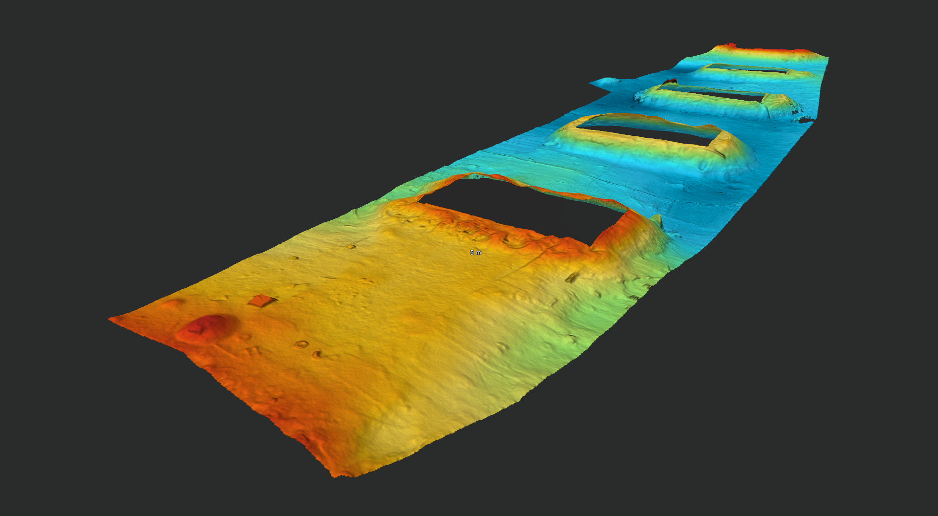
3D Multibeam. Bridge foundations on the seabed. (Pic: InfraGeoTech)
Bathymetric measurements
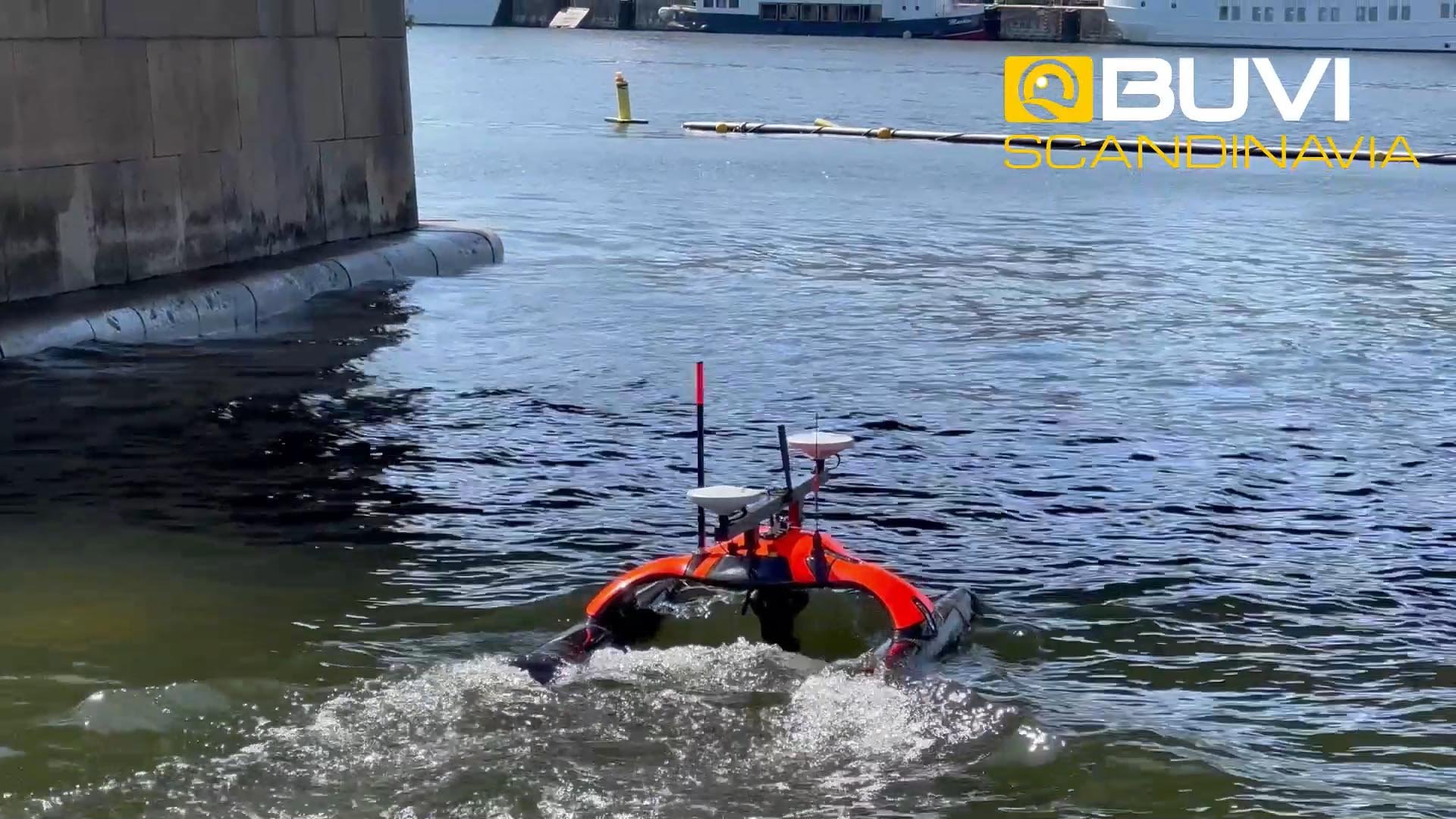
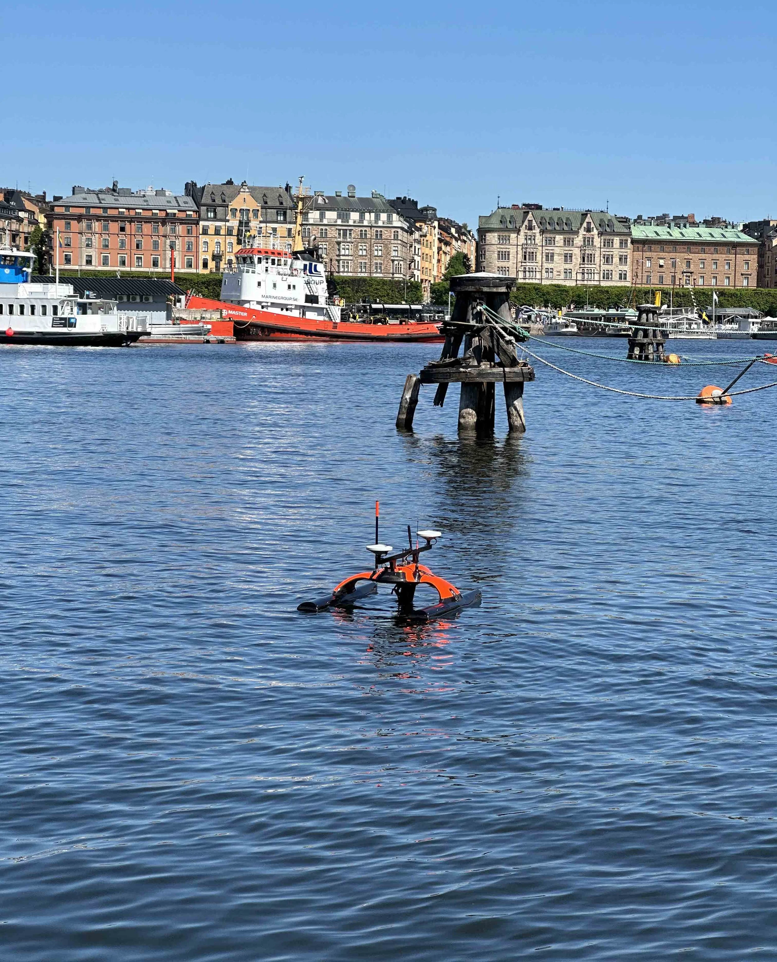
Hydrographic Survey with Sonobot 5 USV
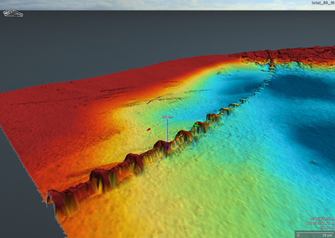
Pipe in the seabed. (Pic: InfraGeoTech)
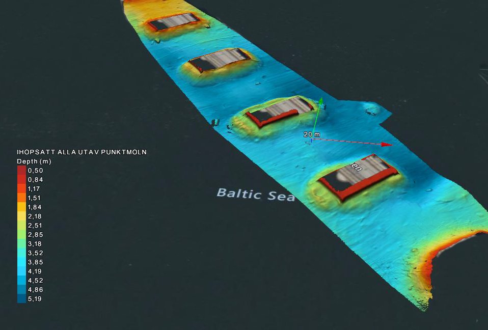
3D Multibeam. ridge foundations on the seabed. (Pic: InfraGeoTech)
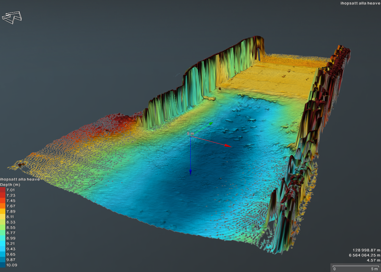
Fairway. (Pic: InfraGeoTech)
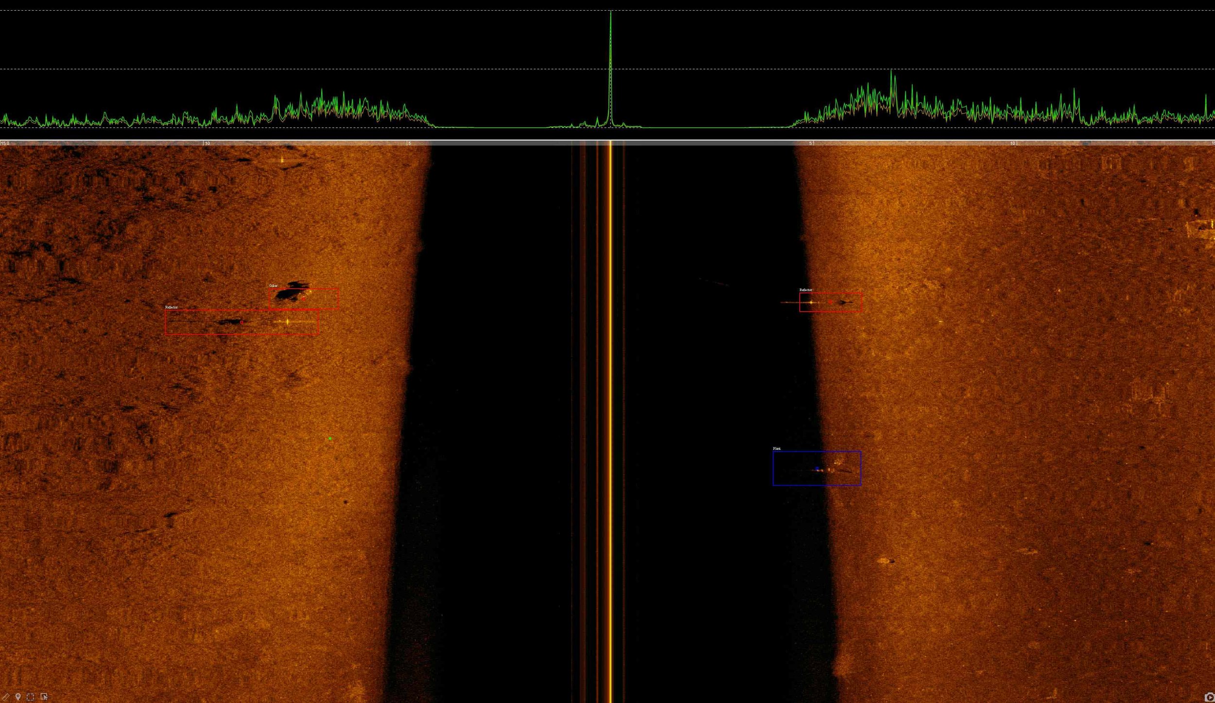
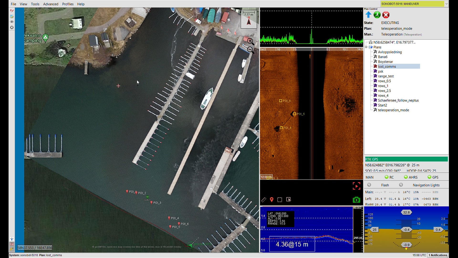
Sidescan Sonar with object recognition
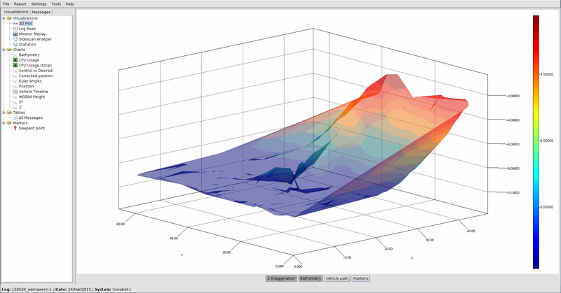
Bathymetric measurements
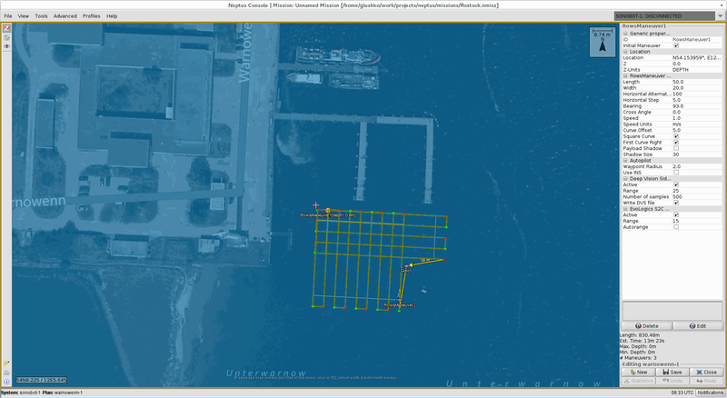
Mapping pattern
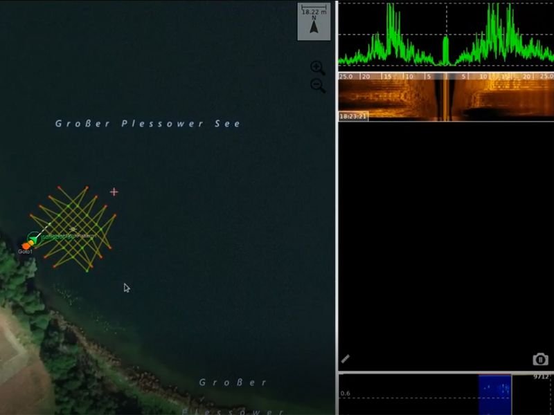
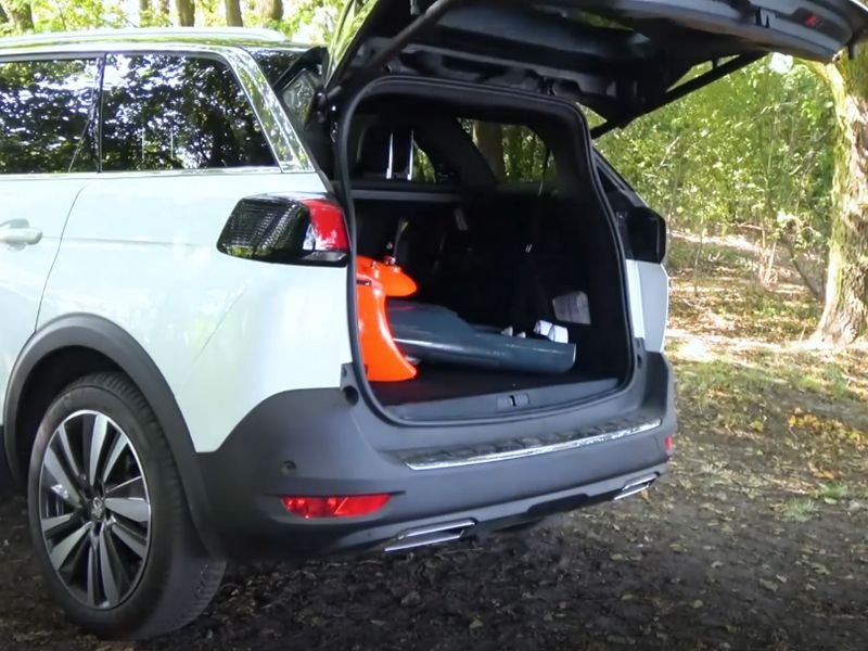
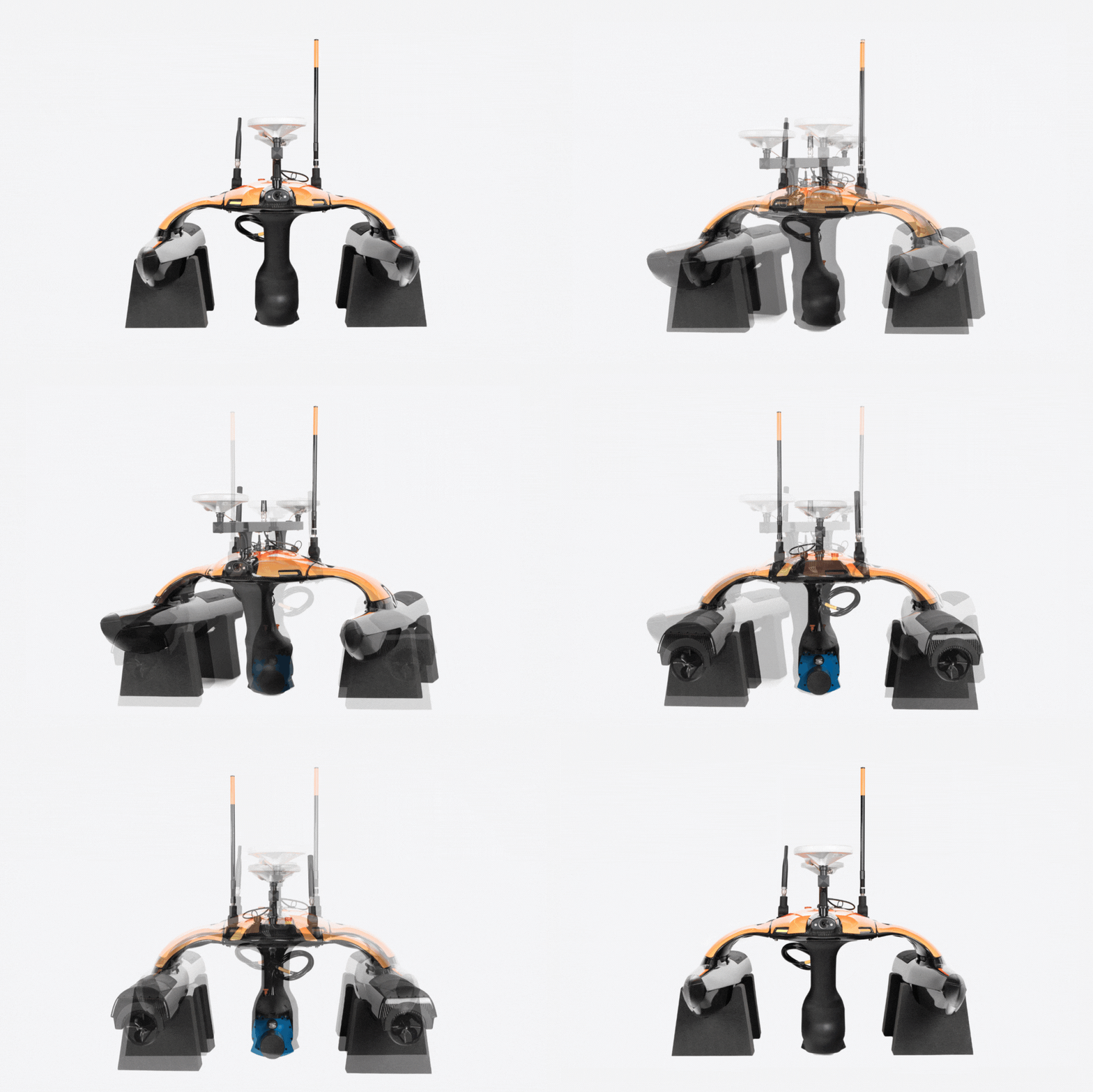
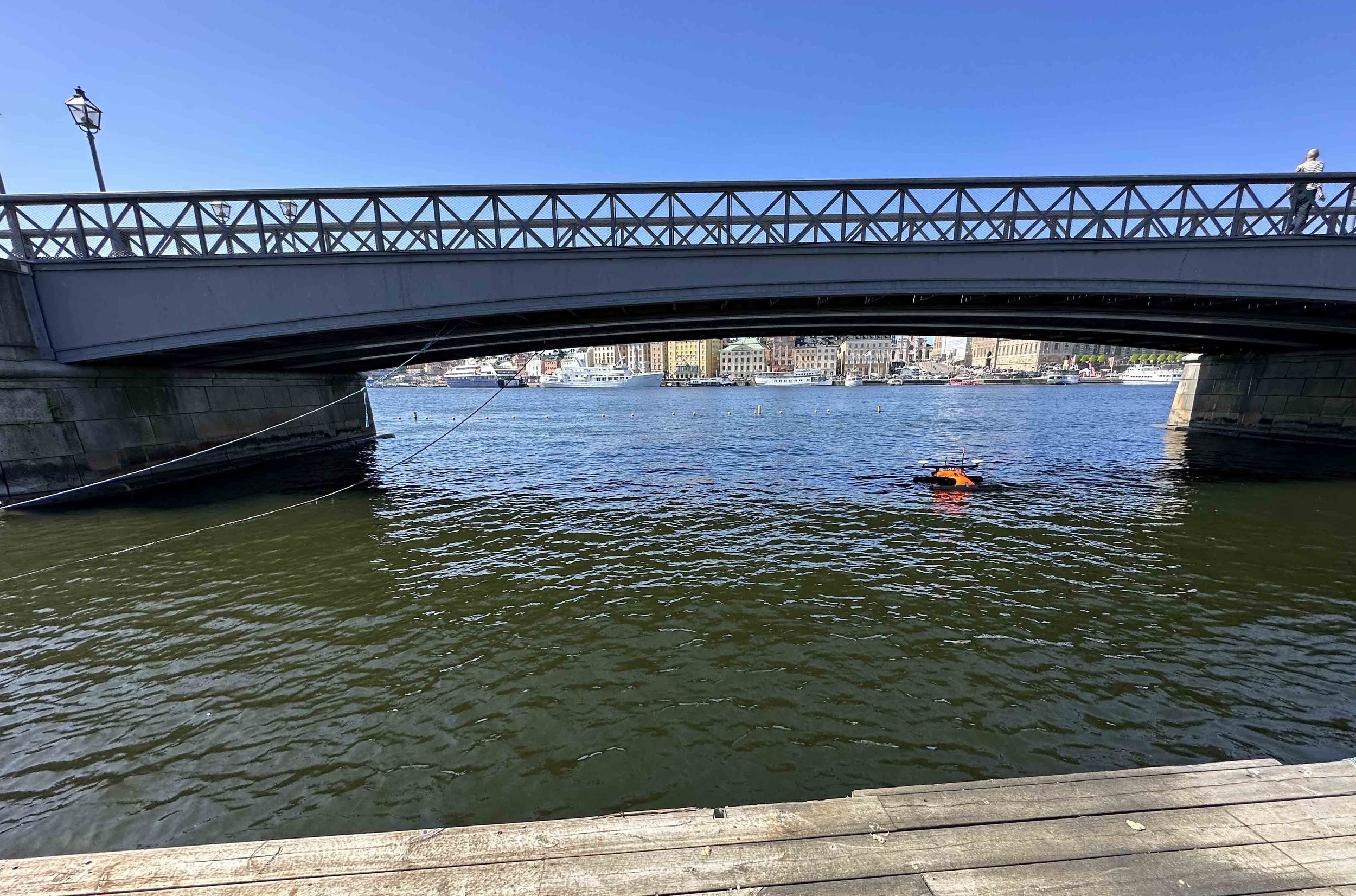
Sonobot 5 USV
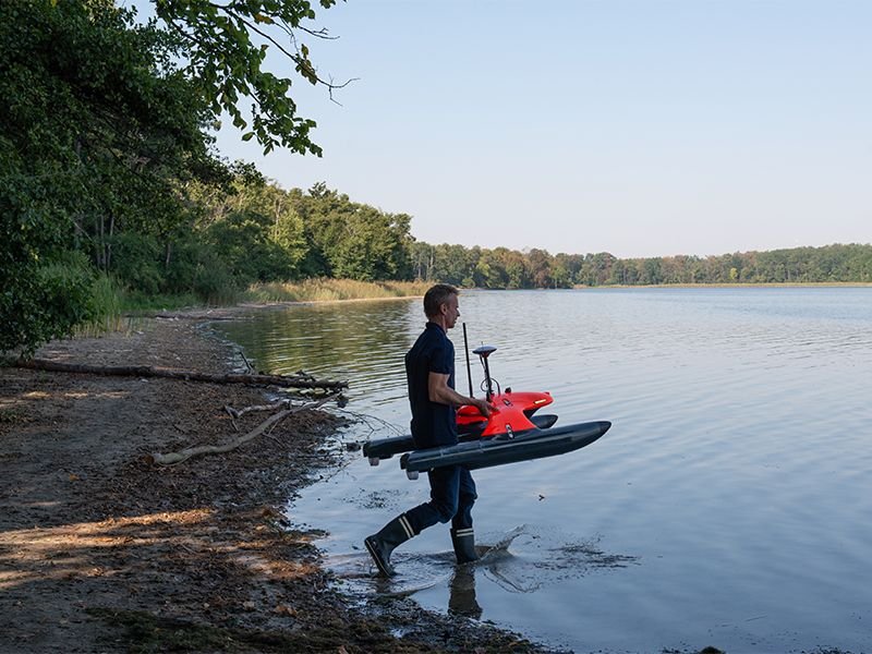
Sonobot 5 USV
Sonobot 5 USV is an Autonomous surface vehicle
SONOBOT 5 USV is an unmanned surface vehicle was developed to provide surveyors, service providers and researchers with a smart lightweight solution for hydrographic surveys and other applications in harbors and inland waters.
The Multibeam is a tailored solution for the Sonobot 5 platform. It offers the advantages of multibeam riverbed mapping in a compact and lightweight unit that seamlessly integrates with the vehicle.
DIMENSIONS:
Height: 805 mm (construction) Width: 920 mm Length: 1300 mm Weight: < 27 kg
WLAN RANGE:
Up to 1,5 km (with omnidirectional antenna), up to 2,5 km (with directional antenna)
SURVEY SPEED:
0.5 to 1,5 m/s,
WIND/ WAVES:
Up to 5 Bft without breaking waves
Get in touch
I want to know more about Hydrographic Surveys and Mapping with Sonobot 5 USV
